- CCT Public Page
- [CCT Members Area]
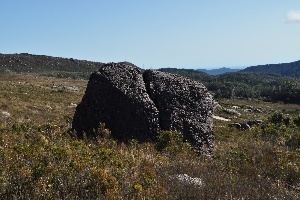
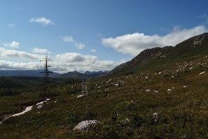
There is a massive field of boulders on the slopes leading up to the Tyndall Range, along the access road that follows the high voltage power lines south.
If you could get access to the road you could drive right to them, but with a 4 hour drive to get there, and west coast weather, they're not going to be developed anytime soon.
Map:
You can see the dozens of boulders on the map to the south of the marker, all the way to Lake Margret.
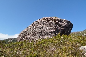
A couple of photos taken by Aaron Scott on a recent bush walk. The individual boulders dont look that much but you can see the number of boulders in the background:
|
|
|
|
Tyndall boulders. Photo Aaron Scott.
|
Tyndall boulders. Photo Aaron Scott.
|
Tyndall boulders. Photo Aaron Scott.
|
Previously on the Choss Files
Overview
Content Tools
1 Comment
Jake B
In regards to the boulders near the camping cave at the main cliff.
Myself and Garry have played around on some of them but would not recommend the walk for the sole purpose of bouldering.
We have walked around a fair bit and so far no luck in finding the perfect boulder..... but cliffs well thats a different story....